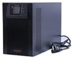
Provides Uninterrupted Pure Power for Critical Applications
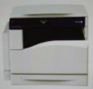
Printer
Docucenter SC 2020
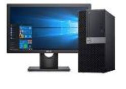
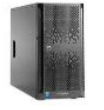
Server- ProLiant ML150 Gen9
Provides Uninterrupted Pure Power for Critical Applications
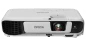
Projector Multi media-EBS41
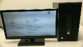
HP Intel i3 7th gen
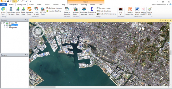
Erdas imagine (Perpectual)
This is the most powerful package for derived information (data production), supporting multiple workflows, including:Data conversion, Orthorectification, Color balancing, mosaicking, and compression, Land-cover mapping and terrain categorization LiDAR editing and classification.
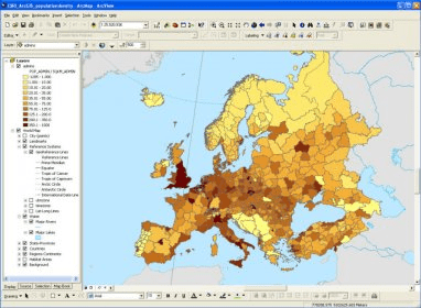
Arc GIS-10.4 Version (Perpectual)
ArcGIS gives everything you need to manage and extract answers from imagery and remotely sensed data. It includes imagery tools and workflows for visualization and analysis
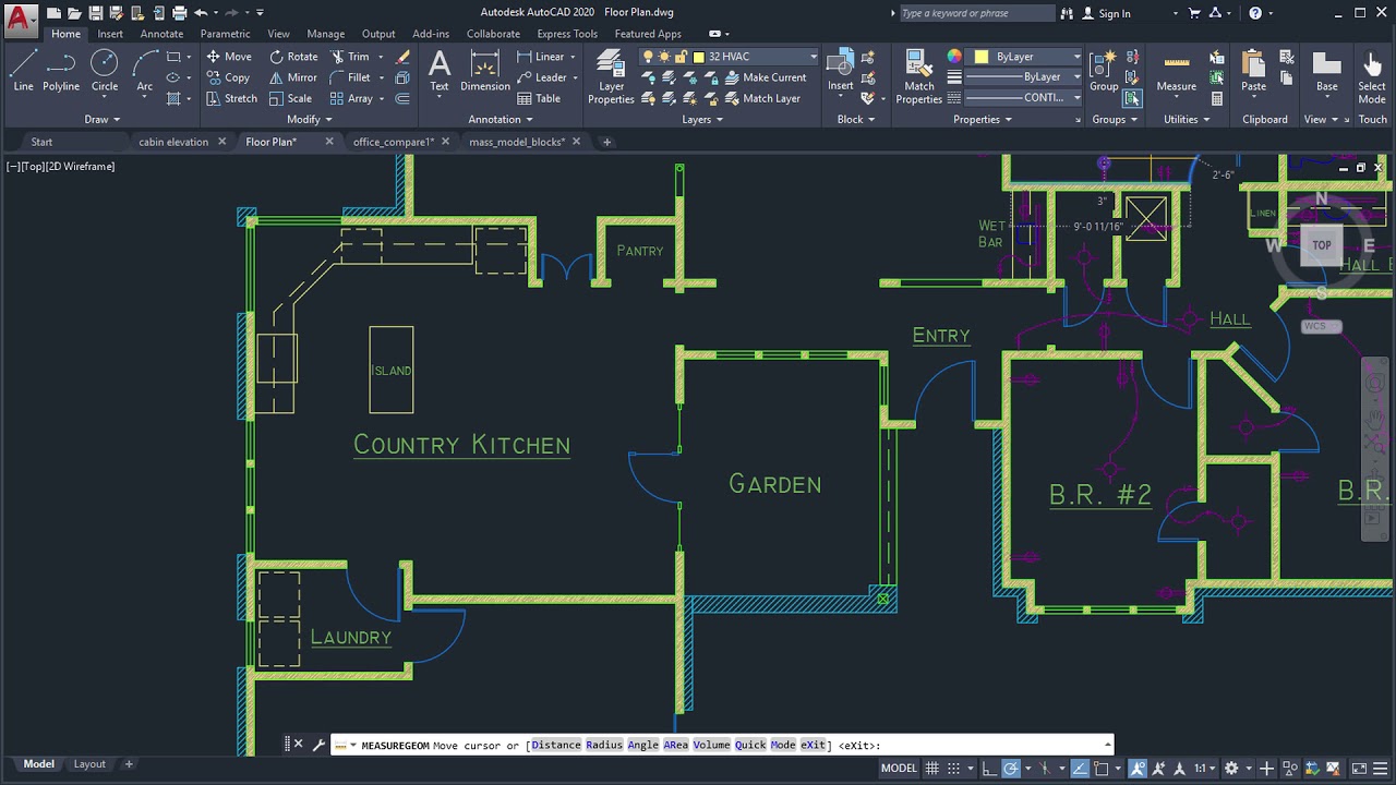
Auto Cad- Architectural-2020 Version (Educational 3yrs)
This software used for designing and drafting. It allows a user to conceptualize ideas, product designs and drawings to the required level of technical accuracy, perform rapid design calculations and simulations in the field of manufacturing industries
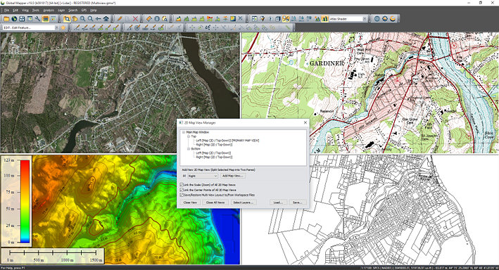
Global Mapper (Perpectual
Global Mapper provides tools for editing both the geometry or physical appearance of vector objects as well as the attributes or information that is associated with each feature.
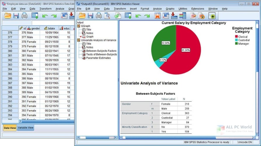
SPSS (Perpectual)
It’s used by various kinds of researchers for complex statistical data analysis. The SPSS software package was created for the management and statistical analysis of social science data.
Coral Draw (Perpectual)
It is the most powerful graphics drawing and image processing software in graphics software. It is a vector-based drawing program and a combined drawing and image editing software
Adobe Creative Cloud (Perpectual)
Adobe Creative Cloud is a collection of software for graphic design, video editing, web development, and photography
Microsoft Office (Perpectual)
It includes: Full Office desktop apps such as Word, PowerPoint, Excel, Outlook, Publisher and Access for Windows PCs, as well as access to additional OneNote features
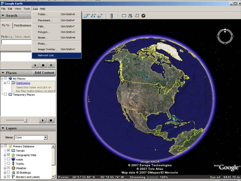
Google Earth (Perpectual)
Google Earth Engine is a cloud-based geospatial analysis platform that enables users to visualize and analyze satellite images of our planet